This web directory contains the figures created each 3 hours by SPASSO (Software Package for A Satellite-based Strategy for Oceanographic cruises) treating and analyzing the near-real time data from AVISO, NASA-Oceancolor, MyOceans.
 Parent Directory
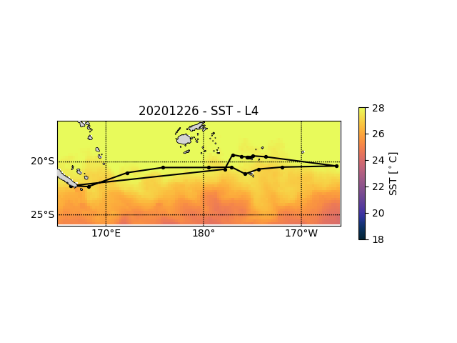 UKMO-L4_GHRSST-SSTfnd-GMPE-GLOB-v03_0-fv03.png (43 kilobytes) 27 Dec 23:43
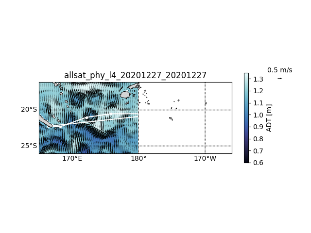 nrt_global_allsat_phy_l4.png (105 kilobytes) 27 Dec 23:43
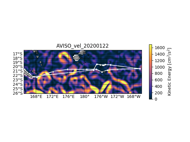 AVISO_vel.png (150 kilobytes) 22 Jan 2020
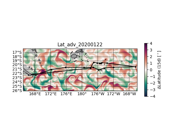 Lat_adv.png (153 kilobytes) 22 Jan 2020
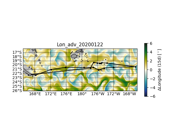 Lon_adv.png (145 kilobytes) 22 Jan 2020
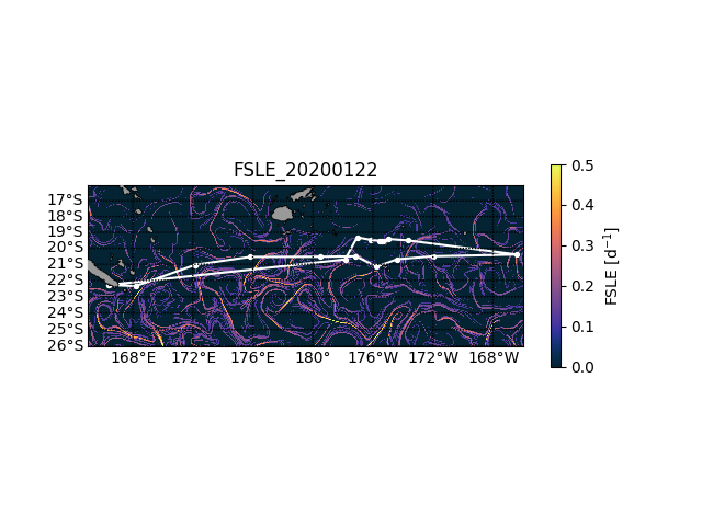 FSLE.png (95 kilobytes) 22 Jan 2020
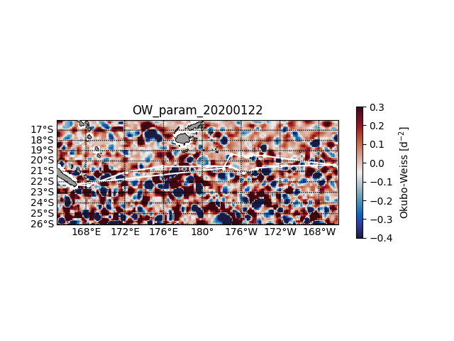 OW_param.png (164 kilobytes) 22 Jan 2020
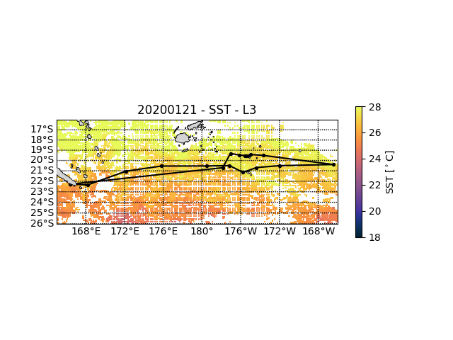 C_GHRSST-SSTsubskin-ODYSSEA-GLOB_010_adjusted-v2_0-fv1.png (91 kilobytes) 22 Jan 2020
 d-ACRI-L3-CHL-MULTI_4KM-GLO-NRT.png (71 kilobytes) 22 Jan 2020